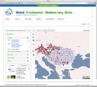
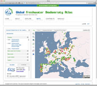
Integrating the conservation and management of aquatic organisms into water resource policy is a major challenge. To support policy makers in this effort, freshwater scientists launched the online Global Freshwater Biodiversity Atlas in January 2014. The term "atlas" often evokes a collection of maps designed to foster discovery and learning on a particular topic. However, maps have always been more than representations. Many are also powerful decision support tools. Increasingly, the maps we see are spatial representations of geo-located datasets or assemblies of datasets, and for scientists and policy makers they draw attention to the availability of data that can be put to use.
We have developed a short series of articles for the Freshwater Blog with the aim to explore the active role of maps at the interface of science and policy. You can choose to see the maps in the Global Freshwater Biodiversity Atlas, read the corresponding blog article or/and watch the online tutorial. If you want to read the introduction to the blog series, follow this link: introduction to the blog series.